Ski Touring in Dumfries & Galloway and The Borders
This page has some brief information about the ski-touring and ski mountaineering possibilities in Dumfries and Galloway in southern Scotland. Flexibility is the most important issue by a long way. You need to get out there as soon as it snows because it never lasts long in the Galloway Hills..! You also need a creative attitude to how much snow is really necessary to ski on (see some of the pictures of Merrick below) plus an old pair of skis and skins.
A further piece of advice is to look carefully at the direction the snow has arrived from. So if it has come from the east head to the Moffat or Lowther Hills, if it has come from the west try the Merrick or Cairnsmore of Fleet.
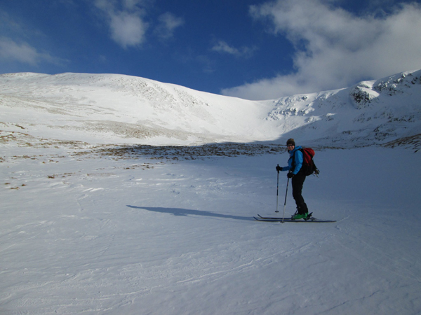
At it's best it can be brilliant. Skiing out down the Kirriereoch burn after descending the steep northwest headwall (behind the skiers head) off the summit of the Merrick.
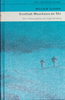
Several of the routes I've skied in Galloway are mentioned in the late Malcolm Slessor's book Scottish Mountains on Ski (West Col 1970). It is optimistically titled Volume 1, but I don't think Volume 2 ever appeared. There are tours on Green Lowther, the traverse of Cairnsmore of Carsphairn and an ascent of Corserine in Dumfries and Galloway as well as some unusual and interesting sounding stuff on Tinto, the Campsies and the Pentlands.
Moffat Hills
Probably the most reliable for snow on easterly weather, they also have good short grass so less cover is needed. We've done tours from the A701 road at the top of the Devils Beeftub to the top of Hart Fell (808m), and up the same peak from Capplegill on the south side. Also along the hills on the south side of Moffat Water.
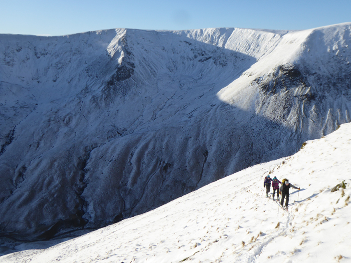
Ski Mountaineering on Hart Fell, Dumfries and Galloway.
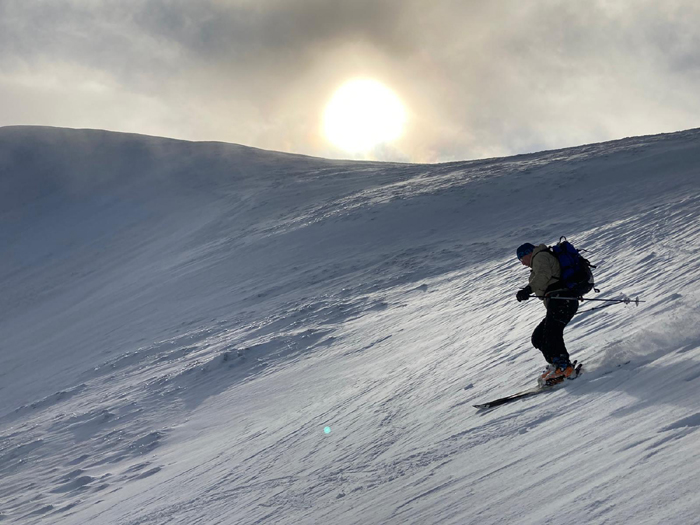
Skiing down the southern corries of White Coomb and Carrifran Gans, Moffat Hills. Photo of me skiing courtesy of James Kinnaird.
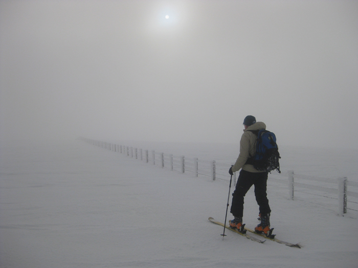
Skinning across the plateau towards Lochcraig Head.
Lowther Hills
The area around the A702 at the Dalveen Pass is good and easily accessible, with steep grassy slopes requiring fairly small amounts of snow to become skiable. The high roads around the villages of Leadhills and Wanlockhead provide easy access to the highest summits as well, although the terrain is a bit more rolling.
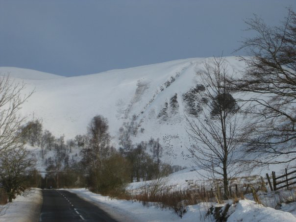
Lowther Hills from the south, after heavy snowfall (there's even a full depth slab avalanche in the centre of the picture.!).
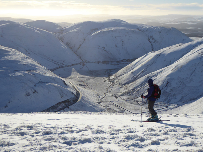
Linda Biggar skiing back down to the Dalveen pass from Comb Head and Lowther Hill. Nice winter conditions in January 2021.
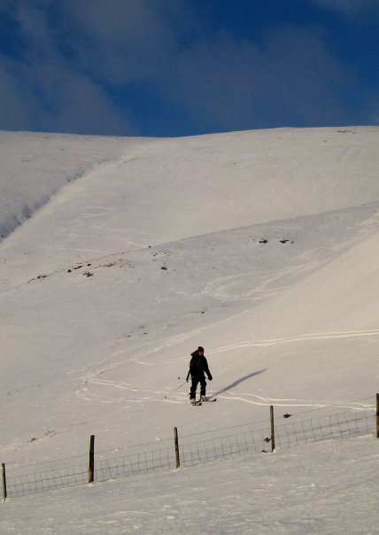
.....and the last turns back to the road at the Dalveen Pass.
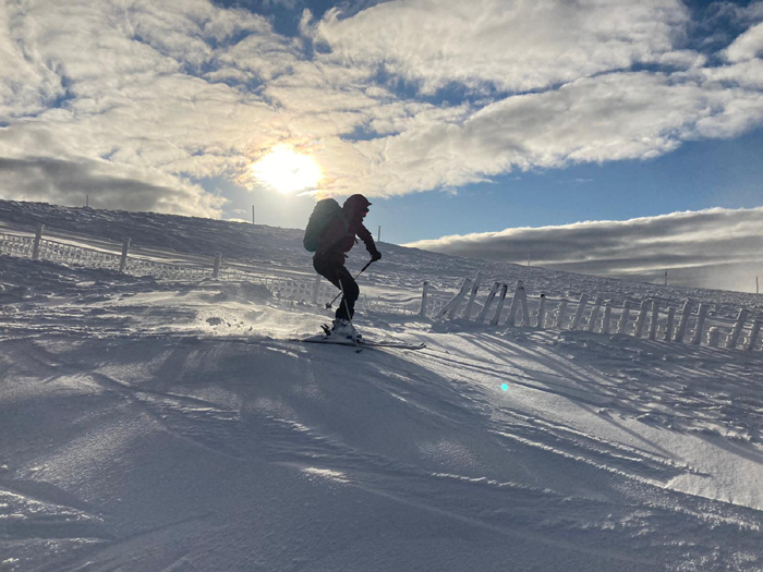
Kerstin skiing the pistes at Lowther Hills Ski Club. Photo thanks to James Kinnaird.
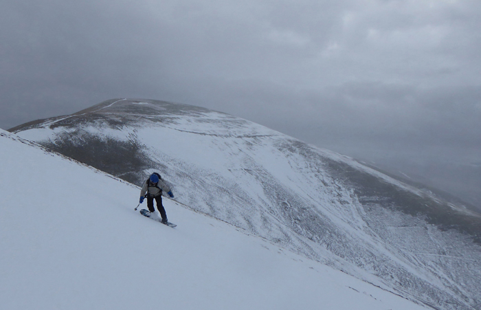
Descending the southwest flank of Lowther Hill on aboard, February 2021.
Cairnsmore of Carsphairn
This 797m high hill is one of the more reliable for snow and easily reached by road. The standard route is from the A713 road at the bridge about 1km north of the village of Carsphairn. From here a farm track leads towards the hill, then two different drystane dykes run up onto the plateau - these are useful for catching snow of course.
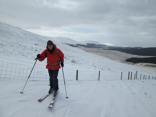
Good snow cover on the slopes of Dunool, March 2013. We had generally good skiing that day and a particularly fine 200m run down the northwest slope of Dunool.
Rhinns of Kells
The full traverse of the Rhinns makes a great day out, especially on skis. After two failed attempts we finally did this tour in 2003, starting at the north end (Brochloch on the A713 road), skiing up onto Corran of Portmark, over Carlin's Cairn and Corserine then finishing by skiing east off Meikle Millyea and descending the forestry roads in the dark back to Forrest Lodge (where we had earlier left a shuttle car).
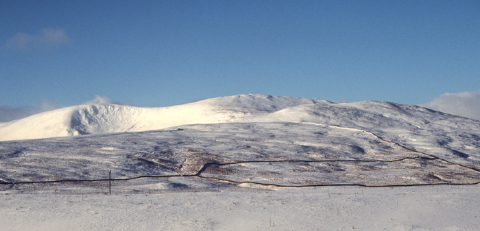
The view westwards towards the Rhinns of Kells. Photos above and below thanks to Stephen Reid at the Needlesports climbing and outdoor shop in Keswick
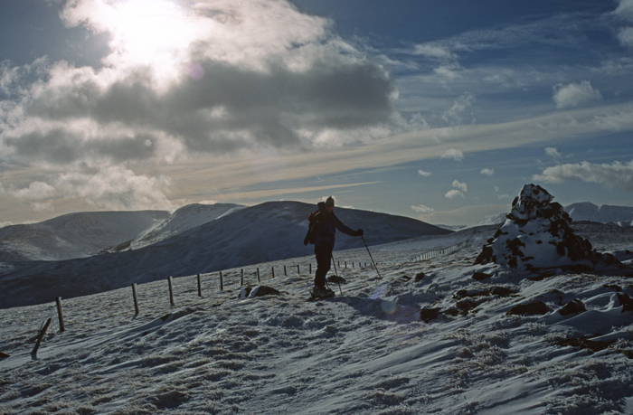
Reaching the top of Corran of Portmark at the northern end of a ski traverse of the Rhinns of Kells.
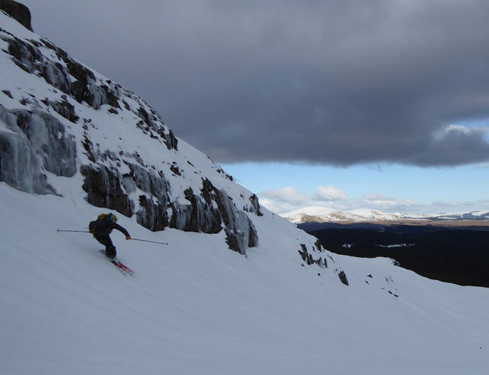
Skiing down the east side of Corserine, more or less the regular summer walking route.
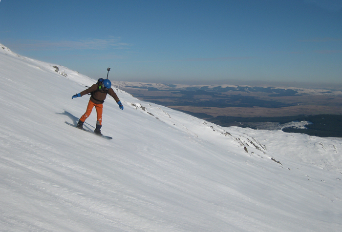
Sliding down the southeast flank of Meikle Millyea after a splitboard ascent.
Merrick
The highest peak in Galloway, Kirkcudbrightshire and indeed the whole of the Southern Uplands, the 843m high Merrick has some good skiing potential, with short grass on the higher plateaus needing minimal snow cover to be skiable. The classic tour is to ski in over Benyellary to the summit. The Howe of the Cauldron is a good steep descent that holds snow well, although it is rocky enough to need some depth or drifting before it is skiable.
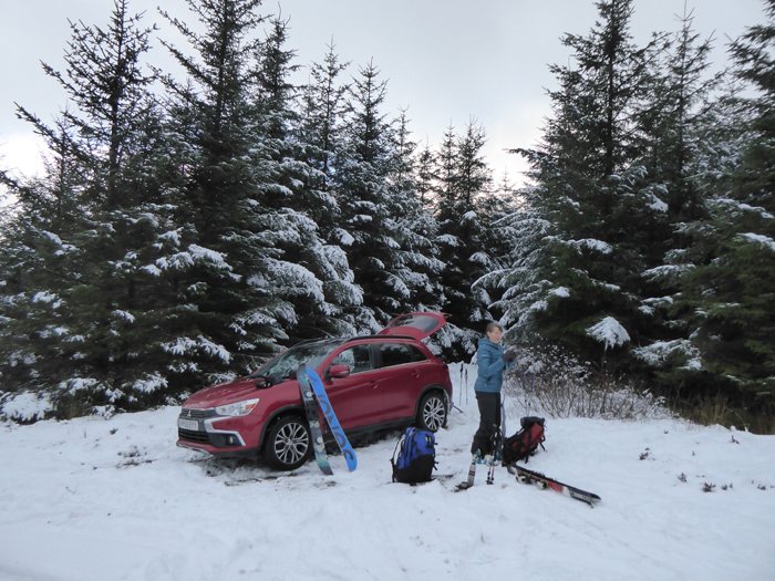
Starting out on a splitboard and ski ascent of the Merrick in January 2021. At 843m high this is the highest point of Scotlands Southern Uplands, and the highest mountain in Galloway.
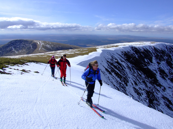
Classic ribbon skiing high up on the Merrick in Galloway in very different conditions. Beyond the wind-scoured grass there were some reasonably big snow patches...
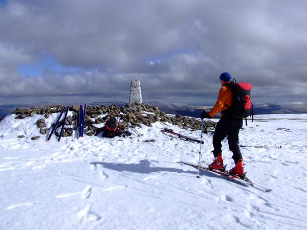
Stephen arriving at the summit.
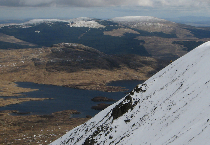
Some good steep, skiing down into the top of the Howe of the Cauldron, with Loch Enoch and Meikle Millyea in the background Photo courtesy of Stephen Reid at Needlesports. My distinctive orange jacket is courtesy of Adobe Photoshop!
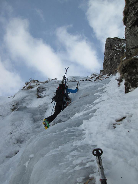
Climbing Chippy's Downfall in March 2013 after skiing in to the very bottom of the route...... and afterwards we skiied right back to the car!
Lamachan Hill
To the south of The Merrick lies Lamachan Hill, a 717m high peak which can also give a good ski. There is some nice steep terrain on the south facing slopes (not ideal of course!)
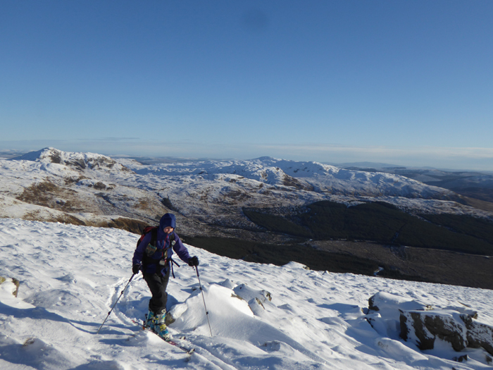
A Ski Mountaineering ascent of Lamachan Hill. Curleywee at back left.
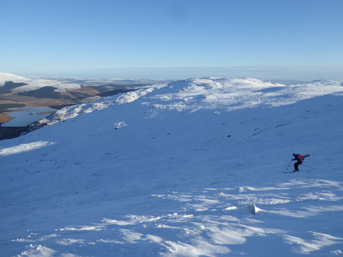
Skiing down the north side of Lamachan Hill, with Loch Dee and Little Millyea in the background.
Cairnsmore of Fleet
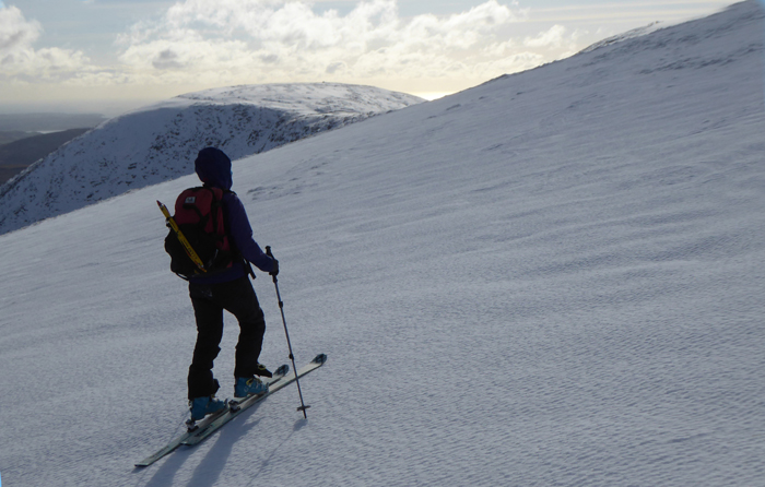
Ski ascent of Cairnsmore of Fleet from the north.
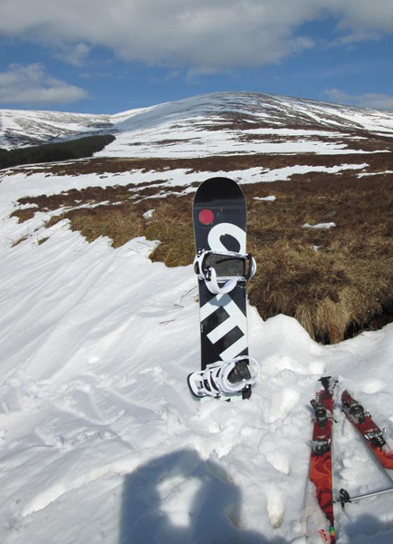
Cairnsmore of Fleet from the southwest (more or less the regular walking route). After the descent, a great run right off the summit to where we took this photo!
Galloway Climbing Links
Merrick Summit Panorama The longest theoretical line of sight possible in the British Isles is from the top of the Merrick to Snowdon in Wales, a distance of 232km - see this site for details and other great summit panoramas.
Galloway Climbing Index Route Diagrams and topos on this website. An index page on this website with links to lots of information about climbing on the various crags in Galloway - mostly the Kirkcudbrightshire end.
Galloway Climbing A web page run by Stephen Reid of Needlesports with some good Galloway climbing information, including some more new route information.
Winter Climbing in Galloway Some winter photos.
Galloway Mountain Rescue Team The local rescue team.

